Geolocate

Turley topographic map

Click on the map to display elevation.

About this map

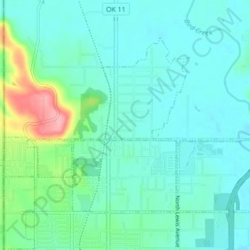
Name: Turley topographic map, elevation, terrain.

Location: Turley, Tulsa County, Oklahoma, 74156, United States (36.23502 -95.99553 36.26999 -95.93390)

Average elevation: 200 m

Minimum elevation: 178 m

Maximum elevation: 291 m

Gear up for your next adventure:

🔋Power Banks - Portable chargers for long outdoor trips
🌦️Portable Weather Meters - Handheld tools for monitoring weather conditions
🔦Waterproof LED Headlamps - Hands-free lighting for evening treks and emergency navigation
📍Handheld GPS Navigators - Reliable satellite navigation for hiking and off-road exploration
📱Phone Mounts for Hiking - Secure mounts to carry your phone on trails

As an Amazon Associate, this site earns from qualifying purchases at no extra cost to you.