
Make a donation
Gear up for your next adventure:
As an Amazon Associate, this site earns from qualifying purchases at no extra cost to you.
Highway topographic map
Click on the map to display elevation.
Make a donation
Gear up for your next adventure:
As an Amazon Associate, this site earns from qualifying purchases at no extra cost to you.
About this map
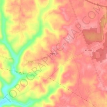
Name: Highway topographic map, elevation, terrain.
Location: Highway, Clinton County, Kentucky, United States (36.71840 -85.22885 36.75840 -85.18885)
Average elevation: 287 m
Minimum elevation: 211 m
Maximum elevation: 319 m
Make a donation
Gear up for your next adventure:
As an Amazon Associate, this site earns from qualifying purchases at no extra cost to you.
Other topographic maps
Click on a map to view its topography, its elevation and its terrain.
Albany
United States > Kentucky > Clinton County
Albany is located in south-central Clinton County at 36°41′36″N 85°8′7″W / 36.69333°N 85.13528°W / 36.69333; -85.13528 (36.693280, -85.135286). The city lies at an elevation of 960 feet (290 m) at the foot of the western edge of the Cumberland Plateau. Albany Rock, a western spur of the…
Average elevation: 310 m