
Gordon topographic map
Interactive map
Click on the map to display elevation.
About this map
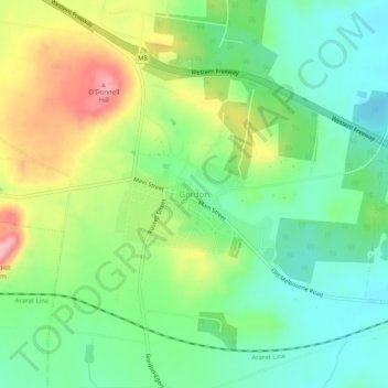
Name: Gordon topographic map, elevation, terrain.
Location: Gordon, Shire of Moorabool, Victoria, Australia (-37.60121 144.08790 -37.56121 144.12790)
Average elevation: 580 m
Minimum elevation: 518 m
Maximum elevation: 689 m