
Villa del Rey topographic map
Interactive map
Click on the map to display elevation.
About this map
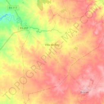
Name: Villa del Rey topographic map, elevation, terrain.
Location: Villa del Rey, Tajo-Salor, Cáceres, Extremadura, España (39.59904 -6.86175 39.70499 -6.74836)
Average elevation: 351 m
Minimum elevation: 247 m
Maximum elevation: 419 m