
Rheezerveen topographic map
Interactive map
Click on the map to display elevation.
About this map
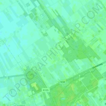
Name: Rheezerveen topographic map, elevation, terrain.
Location: Rheezerveen, Hardenberg, Overijssel, Netherlands (52.54986 6.50492 52.59088 6.57980)
Average elevation: 9 m
Minimum elevation: 4 m
Maximum elevation: 15 m
Other topographic maps
Click on a map to view its topography, its elevation and its terrain.