
Finchampstead topographic map
Click on the map to display elevation.
About this map
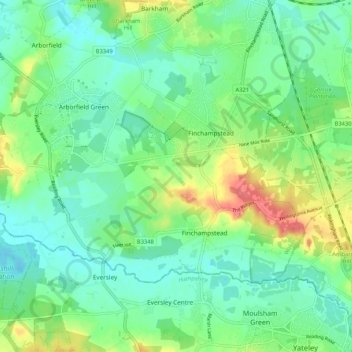
Name: Finchampstead topographic map, elevation, terrain.
Location: Finchampstead, Borough of Wokingham, England, United Kingdom (51.35207 -0.91842 51.39181 -0.81388)
Average elevation: 63 m
Minimum elevation: 43 m
Maximum elevation: 106 m
Borough of Wokingham trails, hiking, mountain biking, running and outdoor activities