
Strijp topographic map
Interactive map
Click on the map to display elevation.
About this map
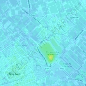
Name: Strijp topographic map, elevation, terrain.
Location: Strijp, Westland, Zuid-Holland, Nederland, 2675AG, Nederland (52.00106 4.21910 52.00409 4.22487)
Average elevation: 2 m
Minimum elevation: -3 m
Maximum elevation: 14 m
Other topographic maps
Click on a map to view its topography, its elevation and its terrain.