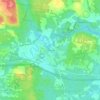
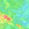
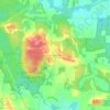
Stratham topographic map
Click on the map to display elevation.
Stratham
According to the United States Census Bureau, the town has a total area of 15.5 square miles (40.2 km2), of which 15.1 square miles (39.2 km2) are land and 0.3 square miles (0.9 km2) are water, comprising 2.29% of the town. Most of Stratham is drained by the Squamscott River, a north-flowing tributary of Great Bay. The east side of the town drains to the Winnicut River, which also flows to Great Bay. The entire town is part of the Piscataqua River watershed. The highest elevation in town is 290 feet (88 m) above sea level, found on the summits of Stratham Hill and neighboring Jewell Hill, both glacial drumlins.
About this map
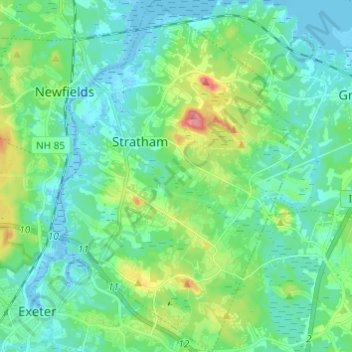
Name: Stratham topographic map, elevation, terrain.
Average elevation: 22 m
Minimum elevation: -10 m
Maximum elevation: 85 m
Other topographic maps
Click on a map to view its topography, its elevation and its terrain.

Deerfield Parade
United States > New Hampshire > Rockingham County > Deerfield
Average elevation: 150 m

South Beacon Shoal
United States > New Hampshire > Rockingham County > Portsmouth
Average elevation: 4 m

Hampton River
United States > New Hampshire > Rockingham County > Hampton Falls
Average elevation: 1 m

Salem Depot
United States > New Hampshire > Rockingham County > Salem > Salem Depot
Average elevation: 50 m