
Utica topographic map
Interactive map
Click on the map to display elevation.
About this map
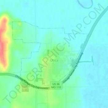
Name: Utica topographic map, elevation, terrain.
Location: Utica, Livingston County, Missouri, 64686, United States (39.73709 -93.64021 39.75325 -93.61567)
Average elevation: 222 m
Minimum elevation: 206 m
Maximum elevation: 276 m