Geolocate

Ouray topographic map

Click on the map to display elevation.

About this map

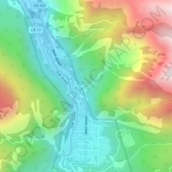
Name: Ouray topographic map, elevation, terrain.

Location: Ouray, Ouray County, Colorado, United States (38.01660 -107.68525 38.04735 -107.66123)

Average elevation: 2,717 m

Minimum elevation: 2,316 m

Maximum elevation: 3,431 m

Gear up for your next adventure:

Camping Shelters - Emergency and lightweight shelters for outdoor use
🧼Biodegradable Soap - Leave-no-trace hygiene for multi-day mountain treks
🧴Sport Sunscreen Sticks - High-protection sunblock that won't run into your eyes on the trail
🌄Compact Monoculars - Lightweight optics for hiking
📸Action Camera Chest Mounts - Record your ascent following topographic paths hands-free

As an Amazon Associate, this site earns from qualifying purchases at no extra cost to you.