
Marshwood topographic map
Interactive map
Click on the map to display elevation.
About this map
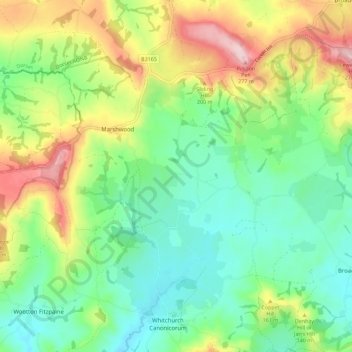
Name: Marshwood topographic map, elevation, terrain.
Location: Marshwood, Dorset, England, United Kingdom (50.76293 -2.90734 50.80455 -2.79447)
Average elevation: 105 m
Minimum elevation: 14 m
Maximum elevation: 275 m