
Peris topographic map
Interactive map
Click on the map to display elevation.
About this map
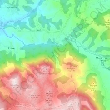
Name: Peris topographic map, elevation, terrain.
Average elevation: 768 m
Minimum elevation: 442 m
Maximum elevation: 1,265 m
Other topographic maps
Click on a map to view its topography, its elevation and its terrain.
Svrljig
Serbia > Central Serbia > Nisava Administrative District > Svrljig Municipality
Svrljig, Svrljig Municipality, Nisava Administrative District, Central Serbia, 18360, Serbia
Average elevation: 493 m