
Ore Mountains topographic map
Interactive map
Click on the map to display elevation.
Ore Mountains
The topographical transition from the Western and Central Ore Mountains to the loess hill country to the north between Zwickau and Chemnitz is referred to as the Ore Mountain Basin; that from the Eastern Ore Mountains as the Ore Mountain Foreland. Between Freital and Pirna, the area is called the Dresden Ore Mountain Foreland (Dresdner Erzgebirgsvorland) or Bannewitz-Possendorf-Burkhardswald Plateau (Bannewitz-Possendorf-Burkhardswalder Plateau). Geologically the Ore Mountains reach the city limits of Dresden at the Windberg hill near Freital and the Karsdorf Fault. The V-shaped valleys of the Ore Mountains break through this fault and the shoulder of the Dresden Basin.
About this map
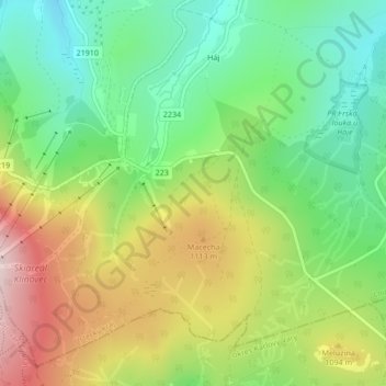
Name: Ore Mountains topographic map, elevation, terrain.
Average elevation: 1,020 m
Minimum elevation: 882 m
Maximum elevation: 1,220 m