
Boullay-les-Troux topographic map
Interactive map
Click on the map to display elevation.
About this map
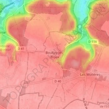
Name: Boullay-les-Troux topographic map, elevation, terrain.
Average elevation: 159 m
Minimum elevation: 84 m
Maximum elevation: 181 m
Other topographic maps
Click on a map to view its topography, its elevation and its terrain.
Ancienne Ligne de Sceaux
France > Essonne > Boullay-les-Troux > Boullay-les-Troux
Ancienne Ligne de Sceaux, Boullay-les-Troux, Palaiseau, Essonne, France métropolitaine, 91470, France
Average elevation: 173 m