
Válega topographic map
Interactive map
Click on the map to display elevation.
About this map
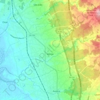
Name: Válega topographic map, elevation, terrain.
Location: Válega, Ovar, Aveiro, Mitte, Portugal (40.81336 -8.64126 40.86238 -8.53930)
Average elevation: 55 m
Minimum elevation: -2 m
Maximum elevation: 182 m