Geolocate

Beta topographic map

Click on the map to display elevation.

About this map

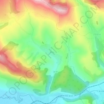
Name: Beta topographic map, elevation, terrain.

Location: Beta, Harghita, 537207, Romania (46.25748 25.20456 46.29748 25.24456)

Average elevation: 540 m

Minimum elevation: 433 m

Maximum elevation: 695 m

Gear up for your next adventure:

📱Phone Mounts for Hiking - Secure mounts to carry your phone on trails
🛰️Outdoor GPS Navigation - Navigation devices for remote and off-grid areas
🛌Sleeping Bags - Warm and packable sleeping bags for outdoor nights
🧥Softshell Jackets - Breathable jackets for active outdoor use
🧥Packable Down Jackets - Lightweight warmth that compresses small in your bag

As an Amazon Associate, this site earns from qualifying purchases at no extra cost to you.