
Peterson topographic map
Interactive map
Click on the map to display elevation.
About this map
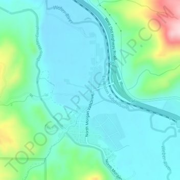
Name: Peterson topographic map, elevation, terrain.
Location: Peterson, Morgan County, Utah, 84050, United States (41.10433 -111.77894 41.12433 -111.75894)
Average elevation: 1,536 m
Minimum elevation: 1,483 m
Maximum elevation: 1,734 m