Geolocate

Falcon Lake topographic map

Click on the map to display elevation.

About this map

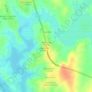
Name: Falcon Lake topographic map, elevation, terrain.

Location: Falcon Lake, Zapata County, Texas, United States (26.85171 -99.27559 26.89171 -99.23559)

Average elevation: 95 m

Minimum elevation: 79 m

Maximum elevation: 124 m

Gear up for your next adventure:

🔦LED Camping Lanterns - Illumination for reading maps inside your tent at night
🔋Power Banks - Portable chargers for long outdoor trips
🧥Breathable Waterproof Jackets - Essential rain protection for the unpredictable British climate
🧊Personal Water Filters - Drink safely from mountain streams marked on your map
🧴Tick Removal Tools - Small, essential health tool for UK woodland and moorland

As an Amazon Associate, this site earns from qualifying purchases at no extra cost to you.