
Krong Ta Khmau topographic map
Interactive map
Click on the map to display elevation.
About this map
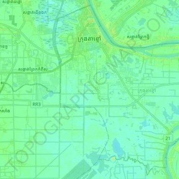
Name: Krong Ta Khmau topographic map, elevation, terrain.
Location: Krong Ta Khmau, Kandal, Cambodia (11.36826 104.91904 11.49451 105.05479)
Average elevation: 8 m
Minimum elevation: 1 m
Maximum elevation: 30 m