
Thank you for supporting this site ❤️
Make a donation
Make a donation
Gear up for your next adventure:
As an Amazon Associate, this site earns from qualifying purchases at no extra cost to you.
Congress topographic map
Click on the map to display elevation.
Thank you for supporting this site ❤️
Make a donation
Make a donation
Gear up for your next adventure:
As an Amazon Associate, this site earns from qualifying purchases at no extra cost to you.
About this map
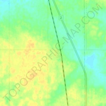
Name: Congress topographic map, elevation, terrain.
Location: Congress, Stonehenge No. 73, Saskatchewan, Canada (49.73538 -106.04343 49.77538 -106.00343)
Average elevation: 726 m
Minimum elevation: 714 m
Maximum elevation: 737 m
Thank you for supporting this site ❤️
Make a donation
Make a donation
Gear up for your next adventure:
As an Amazon Associate, this site earns from qualifying purchases at no extra cost to you.