
Gayungan topographic map
Interactive map
Click on the map to display elevation.
About this map
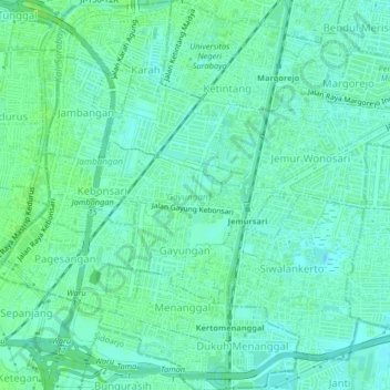
Name: Gayungan topographic map, elevation, terrain.
Location: Gayungan, Surabaya, Indonesia (-7.34839 112.71563 -7.30764 112.73771)
Average elevation: 7 m
Minimum elevation: 2 m
Maximum elevation: 11 m
Other topographic maps
Click on a map to view its topography, its elevation and its terrain.