
Serri topographic map
Interactive map
Click on the map to display elevation.
About this map
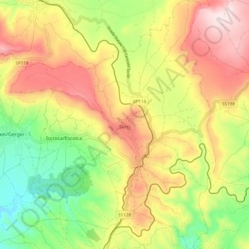
Name: Serri topographic map, elevation, terrain.
Location: Serri, Sud Sardegna, Sardaigne, 08030, Italie (39.66664 9.10132 39.73808 9.17806)
Average elevation: 504 m
Minimum elevation: 286 m
Maximum elevation: 733 m