
Lărguța topographic map
Interactive map
Click on the map to display elevation.
About this map
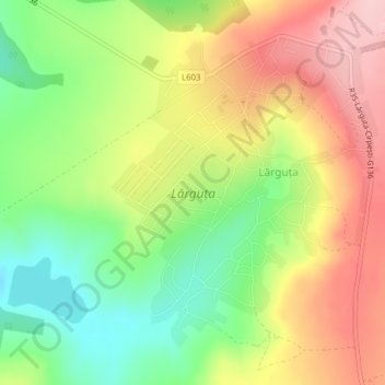
Name: Lărguța topographic map, elevation, terrain.
Location: Lărguța, Raionul Cantemir, Moldavie (46.29135 28.30680 46.31315 28.33409)
Average elevation: 201 m
Minimum elevation: 110 m
Maximum elevation: 298 m