
Mara A topographic map
Interactive map
Click on the map to display elevation.
About this map
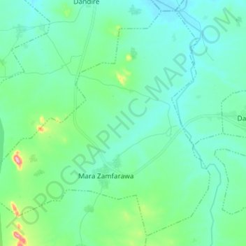
Name: Mara A topographic map, elevation, terrain.
Location: Mara A, Dan Musa, Katsina, Nigéria (12.20493 7.19166 12.31333 7.31262)
Average elevation: 488 m
Minimum elevation: 448 m
Maximum elevation: 674 m