
San Valentino topographic map
Interactive map
Click on the map to display elevation.
About this map
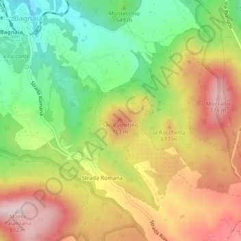
Name: San Valentino topographic map, elevation, terrain.
Location: San Valentino, Viterbe, Latium, Italie (42.41682 12.16983 42.41692 12.16993)
Average elevation: 588 m
Minimum elevation: 398 m
Maximum elevation: 788 m
Other topographic maps
Click on a map to view its topography, its elevation and its terrain.