
Parc du stade Arsenal topographic map
Interactive map
Click on the map to display elevation.
About this map
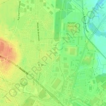
Name: Parc du stade Arsenal topographic map, elevation, terrain.
Average elevation: 277 m
Minimum elevation: 256 m
Maximum elevation: 297 m
Other topographic maps
Click on a map to view its topography, its elevation and its terrain.
Château de Matel
France > Auvergne-Rhône-Alpes > Loire > Roanne
Château de Matel, Roanne, Loire, Auvergne-Rhône-Alpes, France métropolitaine, 42300, France
Average elevation: 275 m