
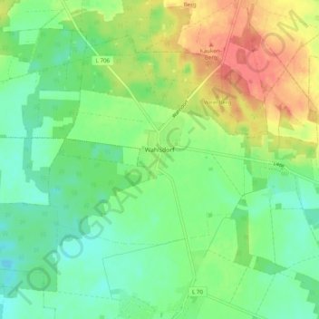
Wahlsdorf topographic map
Interactive map
Click on the map to display elevation.
About this map
Name: Wahlsdorf topographic map, elevation, terrain.
Average elevation: 119 m
Minimum elevation: 96 m
Maximum elevation: 156 m
Other topographic maps
Click on a map to view its topography, its elevation and its terrain.
Buckow
Deutschland > Brandenburg > Teltow-Fläming > Dahme/Mark > Buckow
Buckow, Dahme/Mark, Teltow-Fläming, Brandenburg, Deutschland
Average elevation: 120 m