
Kabarak topographic map
Interactive map
Click on the map to display elevation.
About this map
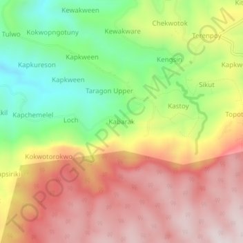
Name: Kabarak topographic map, elevation, terrain.
Location: Kabarak, Kween, Eastern Region, Uganda (1.33468 34.51465 1.37468 34.55465)
Average elevation: 2,532 m
Minimum elevation: 2,195 m
Maximum elevation: 2,838 m