
Zone 5 topographic map
Interactive map
Click on the map to display elevation.
About this map
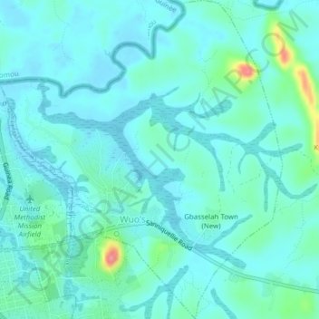
Name: Zone 5 topographic map, elevation, terrain.
Location: Zone 5, Garr-Bain, Nimba County, Liberia (7.22566 -8.98282 7.26387 -8.94855)
Average elevation: 281 m
Minimum elevation: 267 m
Maximum elevation: 353 m