
Stanton Low Lake topographic map
Interactive map
Click on the map to display elevation.
About this map
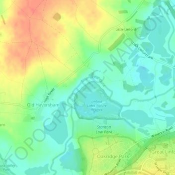
Name: Stanton Low Lake topographic map, elevation, terrain.
Average elevation: 72 m
Minimum elevation: 52 m
Maximum elevation: 101 m
Routes: City of Milton Keynes GPS tracks, routes, trails, hikes