
Oosterhout topographic map
Interactive map
Click on the map to display elevation.
About this map
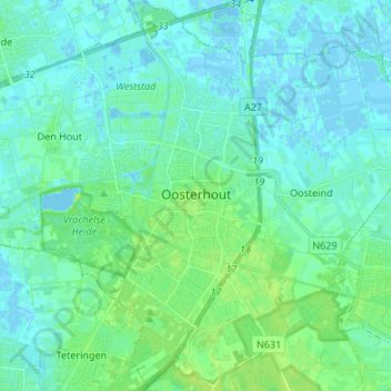
Name: Oosterhout topographic map, elevation, terrain.
Location: Oosterhout, Nordbrabant, Niederlande (51.60257 4.78751 51.68602 4.90555)
Average elevation: 4 m
Minimum elevation: -4 m
Maximum elevation: 13 m