
Gunung Seriti topographic map
Interactive map
Click on the map to display elevation.
About this map
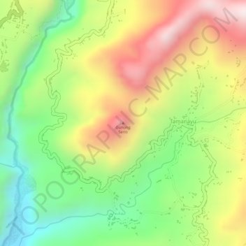
Name: Gunung Seriti topographic map, elevation, terrain.
Location: Gunung Seriti, Lumajang, East Java, Java, 67374, Indonesia (-8.23515 112.94755 -8.23505 112.94765)
Average elevation: 569 m
Minimum elevation: 299 m
Maximum elevation: 855 m