
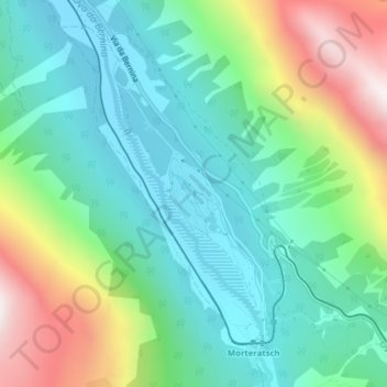
Plauns topographic map
Interactive map
Click on the map to display elevation.
About this map
Name: Plauns topographic map, elevation, terrain.
Location: Plauns, Pontresina, Maloja, Graubünden, 7504, Schweiz (46.45114 9.92433 46.47114 9.94433)
Average elevation: 2,156 m
Minimum elevation: 1,840 m
Maximum elevation: 2,899 m