
Chowchilla topographic map
Interactive map
Click on the map to display elevation.
About this map
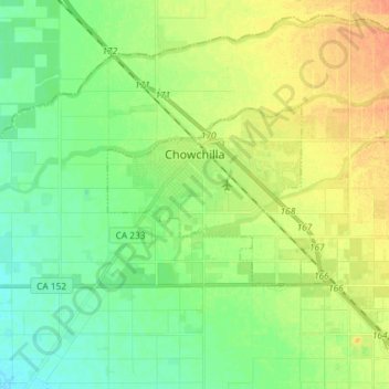
Name: Chowchilla topographic map, elevation, terrain.
Average elevation: 73 m
Minimum elevation: 59 m
Maximum elevation: 90 m
Other topographic maps
Click on a map to view its topography, its elevation and its terrain.
Thousand Island Lake
États-Unis d'Amérique > Californie > Madera County
Thousand Island Lake, Madera County, Californie, États-Unis d'Amérique
Average elevation: 3,065 m