
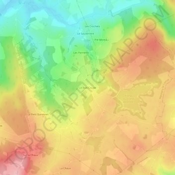
Le Bois Coupé topographic map
Interactive map
Click on the map to display elevation.
About this map
Name: Le Bois Coupé topographic map, elevation, terrain.
Average elevation: 350 m
Minimum elevation: 269 m
Maximum elevation: 424 m
Other topographic maps
Click on a map to view its topography, its elevation and its terrain.
Commune
France > Bourgogne-Franche-Comté > Saône-et-Loire > Martigny-le-Comte
Commune, Martigny-le-Comte, Charolles, Saône-et-Loire, Bourgogne-Franche-Comté, France métropolitaine, 71220, France
Average elevation: 353 m