
Ethel topographic map
Interactive map
Click on the map to display elevation.
About this map
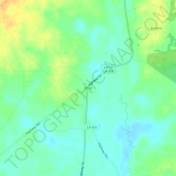
Name: Ethel topographic map, elevation, terrain.
Average elevation: 53 m
Minimum elevation: 41 m
Maximum elevation: 73 m
Other topographic maps
Click on a map to view its topography, its elevation and its terrain.
Slaughter
United States > Louisiana > East Feliciana Parish
Slaughter, East Feliciana Parish, Louisiana, United States
Average elevation: 39 m
Clinton
United States > Louisiana > East Feliciana Parish > Clinton
Clinton, East Feliciana Parish, Louisiana, United States
Average elevation: 67 m
Bluff Creek
United States > Louisiana > East Feliciana Parish > Bluff Creek
Bluff Creek, East Feliciana Parish, Louisiana, United States
Average elevation: 38 m