
Lebbeke topographic map
Interactive map
Click on the map to display elevation.
About this map
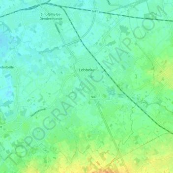
Name: Lebbeke topographic map, elevation, terrain.
Location: Lebbeke, Termonde, Flandre orientale, Flandre, 9280, Belgique (50.96703 4.07112 51.02165 4.16896)
Average elevation: 10 m
Minimum elevation: 0 m
Maximum elevation: 32 m