
Ngaglik topographic map
Interactive map
Click on the map to display elevation.
About this map
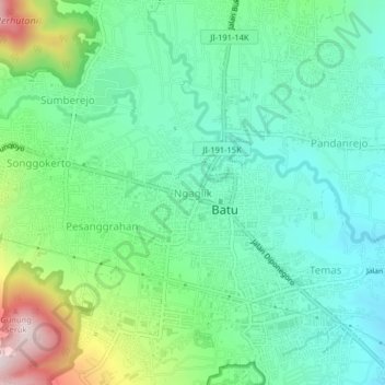
Name: Ngaglik topographic map, elevation, terrain.
Location: Ngaglik, Kota Batu, East Java, Java, 65134, Indonesia (-7.88942 112.50360 -7.84942 112.54360)
Average elevation: 925 m
Minimum elevation: 788 m
Maximum elevation: 1,280 m