
Magu topographic map
Interactive map
Click on the map to display elevation.
About this map
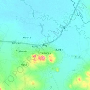
Name: Magu topographic map, elevation, terrain.
Location: Magu, Mwanza, Lake Zone, Tanzania (-2.62996 33.40453 -2.54996 33.48453)
Average elevation: 1,152 m
Minimum elevation: 1,134 m
Maximum elevation: 1,247 m