
Lakot topographic map
Interactive map
Click on the map to display elevation.
About this map
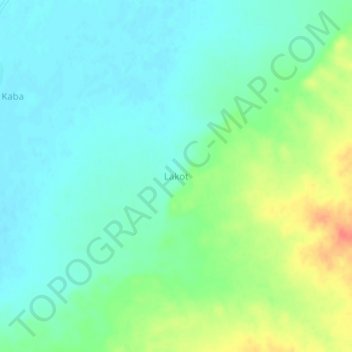
Name: Lakot topographic map, elevation, terrain.
Location: Lakot, Madaoua, Tahoua Region, Niger (14.07763 6.05043 14.11763 6.09043)
Average elevation: 326 m
Minimum elevation: 310 m
Maximum elevation: 362 m