
Bugonje topographic map
Interactive map
Click on the map to display elevation.
About this map
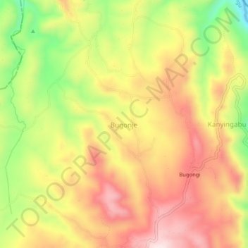
Name: Bugonje topographic map, elevation, terrain.
Location: Bugonje, Kambuga Sub-County, Kanungu, Western Region, Uganda (-0.78667 29.78000 -0.74667 29.82000)
Average elevation: 1,305 m
Minimum elevation: 1,089 m
Maximum elevation: 1,471 m