
Thur topographic map
Interactive map
Click on the map to display elevation.
About this map
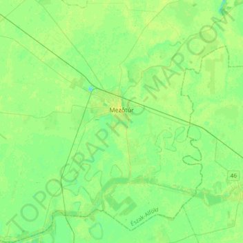
Name: Thur topographic map, elevation, terrain.
Average elevation: 84 m
Minimum elevation: 77 m
Maximum elevation: 91 m
Other topographic maps
Click on a map to view its topography, its elevation and its terrain.
Tiszafüred
Ungarn > Komitat Jaß-Großkumanien-Sollnock
Tiszafüred, Tiszafüredi járás, Komitat Jaß-Großkumanien-Sollnock, Nördliche Tiefebene, Nördliche Große Tiefebene, Ungarn
Average elevation: 89 m