
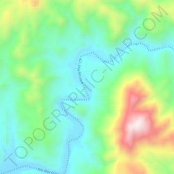
El Taray topographic map
Interactive map
Click on the map to display elevation.
About this map
Name: El Taray topographic map, elevation, terrain.
Location: El Taray, San Pedro de la Cueva, Sonora, Mexique (29.33817 -109.72233 29.37817 -109.68233)
Average elevation: 567 m
Minimum elevation: 350 m
Maximum elevation: 1,055 m