
Täschliberg topographic map
Interactive map
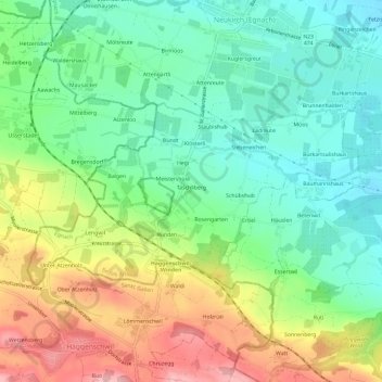
Click on the map to display elevation.
About this map
Name: Täschliberg topographic map, elevation, terrain.
Location: Täschliberg, Egnach, Bezirk Arbon, Thurgau, 9315, Zwitserland (47.49061 9.34180 47.53061 9.38180)
Average elevation: 486 m
Minimum elevation: 423 m
Maximum elevation: 591 m