
Wilson topographic map
Interactive map
Click on the map to display elevation.
About this map
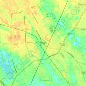
Name: Wilson topographic map, elevation, terrain.
Location: Wilson, Wilson County, North Carolina, 27893, United States (35.68127 -77.95554 35.76127 -77.87554)
Average elevation: 39 m
Minimum elevation: 22 m
Maximum elevation: 53 m