
Mas Hill topographic map
Interactive map
Click on the map to display elevation.
About this map
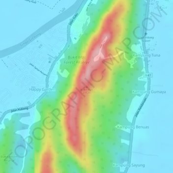
Name: Mas Hill topographic map, elevation, terrain.
Location: Mas Hill, Limbang, BUKIT KOTA, Sarawak, 98708, Malaysia (4.73648 115.00731 4.73658 115.00741)
Average elevation: 48 m
Minimum elevation: 0 m
Maximum elevation: 186 m