
Kenly topographic map
Interactive map
Click on the map to display elevation.
About this map
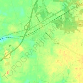
Name: Kenly topographic map, elevation, terrain.
Location: Kenly, Johnston County, North Carolina, United States (35.56533 -78.16892 35.60688 -78.11407)
Average elevation: 62 m
Minimum elevation: 45 m
Maximum elevation: 74 m