
Brika topographic map
Interactive map
Click on the map to display elevation.
About this map
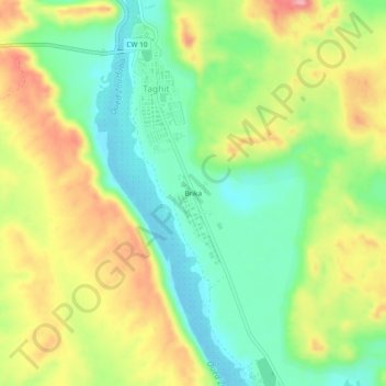
Name: Brika topographic map, elevation, terrain.
Location: Brika, Taghit, Bashar, 08030, Algeria (30.88618 -2.04498 30.92618 -2.00498)
Average elevation: 650 m
Minimum elevation: 592 m
Maximum elevation: 728 m