
Tân Lập topographic map
Interactive map
Click on the map to display elevation.
About this map
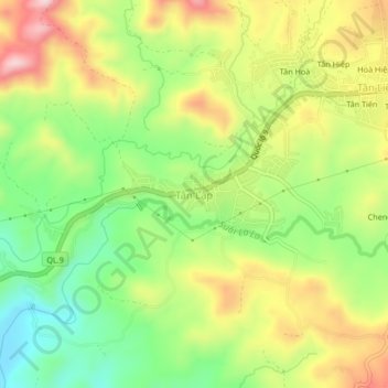
Name: Tân Lập topographic map, elevation, terrain.
Location: Tân Lập, Hướng Hóa District, Quang Tri province, Vietnam (16.58899 106.67249 16.62899 106.71249)
Average elevation: 344 m
Minimum elevation: 207 m
Maximum elevation: 511 m