
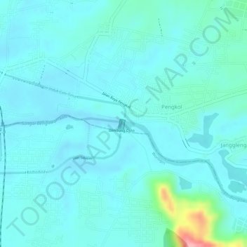
Sungai Bengawan Solo topographic map
Interactive map
Click on the map to display elevation.
About this map
Name: Sungai Bengawan Solo topographic map, elevation, terrain.
Location: Sungai Bengawan Solo, Pengkol, Sukoharjo, 57571, Indonesia (-7.75187 110.90048 -7.75135 110.90301)
Average elevation: 122 m
Minimum elevation: 102 m
Maximum elevation: 232 m